
OUR SERVICES

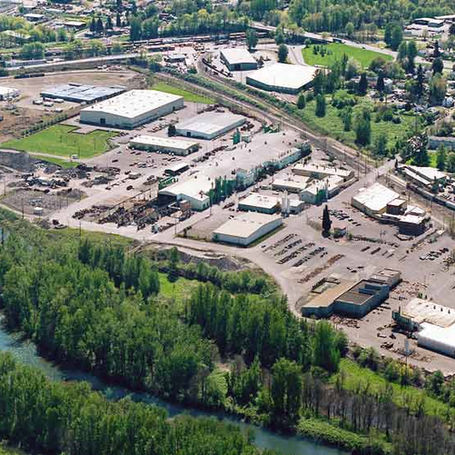
Drone Imaging
Capture stunning aerial imagery and data for your projects with our advanced drone imaging technology.
.png)
Drone Survey
Utilize our drone survey services to gather accurate and detailed information for your construction or infrastructure projects. We offer volumetrics, digital elevation models (DEM), and updating visual As-builts.
.png)
Photogrammetry and 3D Modeling
Transform aerial images into precise 3D models and maps using cutting-edge photogrammetry techniques.

ABOUT US
Black Feather Drone Services is a leading provider of professional drone imaging, survey, photogrammetry, and 3D modeling services. Our team brings extensive real-world survey experience in the construction industry, ensuring the delivery of high-quality results. We are dedicated to staying at the forefront of technology to meet the evolving needs of our clients.

OUR PROJECTS

OUR CLIENTS


CONTACT US
Inquiries
Have questions or need our services? Contact us at 646-596-4040 or fill out the form below.
Our Location
Black Feather Drone Services
Hillsboro OR. 97123
Email: blackfeatherpdx@gmail.com
Phone: 646-596-4040


